Previous Image

|

Next Image
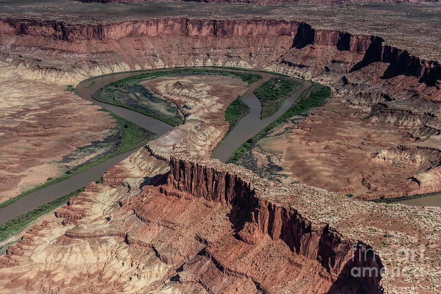
Canyonlands National Park Aerial View of Fort Bottom Ruin and Bighorn Mesa #1 Photograph by David Oppenheimer

Similar Images

Airport Tower in Canyonlands National Park Aerial by David Oppenheimer
Canyonlands National Park Aerial View of Fort Bottom Ruin and Bighorn Mesa by David Oppenheimer
Confluence Overlook in Canyonlands National Park Aerial View by David Oppenheimer
Bowknot Bend on Green River in Utah #1 by David Oppenheimer
Land of Standing Rocks in Canyonlands National Park Aerial View by David Oppenheimer
Angel Arch in Canyonlands National Park Aerial by David Oppenheimer
Angel Arch in Canyonlands National Park Aerial #1 by David Oppenheimer
Needles District of Canyonlands National Park Aerial by David Oppenheimer
Shot Canyon in the Maze District of Canyonlands National Park Aerial by David Oppenheimer
The Green River in Canyonlands National Park Aerial by David Oppenheimer
Upper Salt Creek in the Needles District of Canyonlands National Park Aerial by David Oppenheimer
Upper Salt Creek in the Needles District of Canyonlands National Park Aerial #1 by David Oppenheimer
Upper Salt Creek in the Needles District of Canyonlands National Park Aerial #2 by David Oppenheimer
Kirk Arch in the Upper Salt Creek Needles District of Canyonland National Park by David Oppenheimer
Mineral Canyon Bottom and Airstrip along the Green River on the Border of Canyonlands National Park by David Oppenheimer
Wedding Ring Arch in the Needles District of Canyonlands National Park by David Oppenheimer
Confluence Overlook on Junction of the The Green River and the Colorado River by David Oppenheimer
Bowknot Bend on Green River in Utah by David Oppenheimer
Moab Utah Aerial by David Oppenheimer

Comments

There are no comments for Canyonlands National Park Aerial View of Fort Bottom Ruin and Bighorn Mesa #1.   Click here to post the first comment.

Recently Viewed

Canyonlands National Park Aerial View of Fort Bottom Ruin and Bighorn Mesa #1 by David Oppenheimer
Previous Image Next Image